
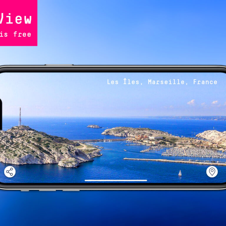
Our previously subscription-based service “Coast View” has become an instant favorite for the community, since its’ first launch in July, helping users explore more perfect spots to drop anchor and enjoy.
A wealth of info combined with the Visual coverage is something that everybody needs for their trips to feel safe, especially during this difficult era. So, we made a bold move. Coast View is now Free! And it is expanding beyond the Mediterranean!
Our mission is to develop a vibrant community of outdoor enthusiasts that come together to improve their experience along the world’s shoreline.
So, what can you do with Coast View?
Home is where the anchor drops
Whether looking for a picturesque spot to explore, anchor, and spend the perfect leisure day, or in search of a suitable shelter to spend the night safely, Coast View is a no-brainer! The panoramic view will let you know details about its topology, such as the depth of the water, any rocks or trees to anchor, and take stern lines ashore.
Combined with our new Anchorage Suitability feature deducted from MarineTraffic’s Historical Data, you can have an overall view of the anchorage, including popularity score based on wind protection, overnight stay suitability and peak of the day.
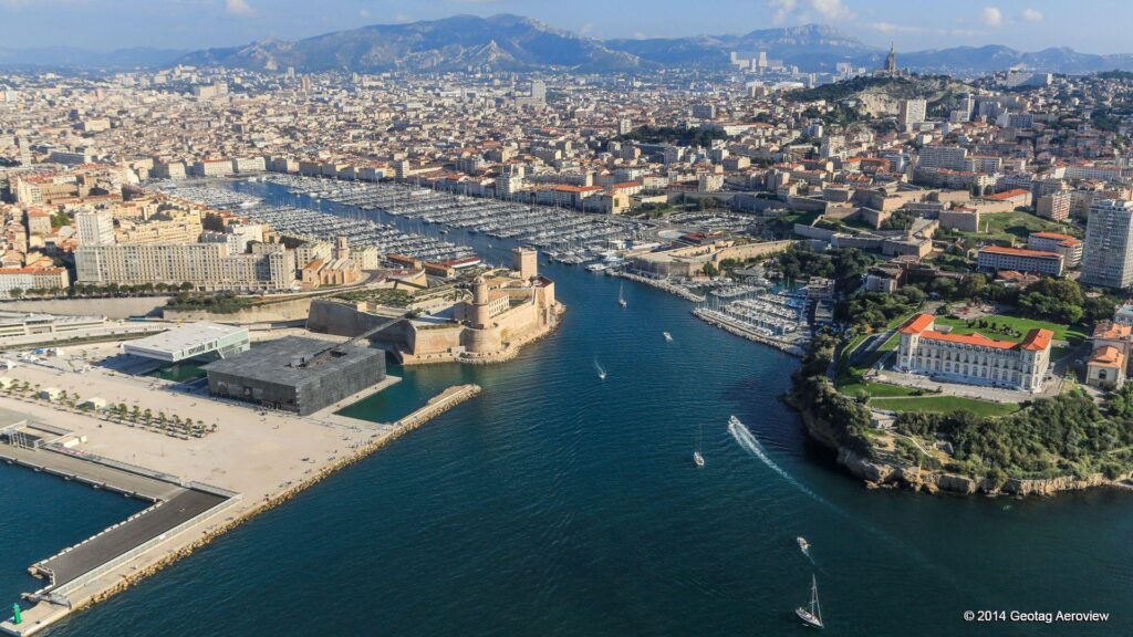
The Devil is in the (marina) details
You can now have a detailed overview of the marina you plan to visit with a swipe. Know all about the berth, the entrance and even the orientation to make arrival easier and have everything prepared! Drop your anchor and you’re all set!
In addition, place details offer valuable info with detailed tags on VHF, Max. Berths, phone accessibility and more.
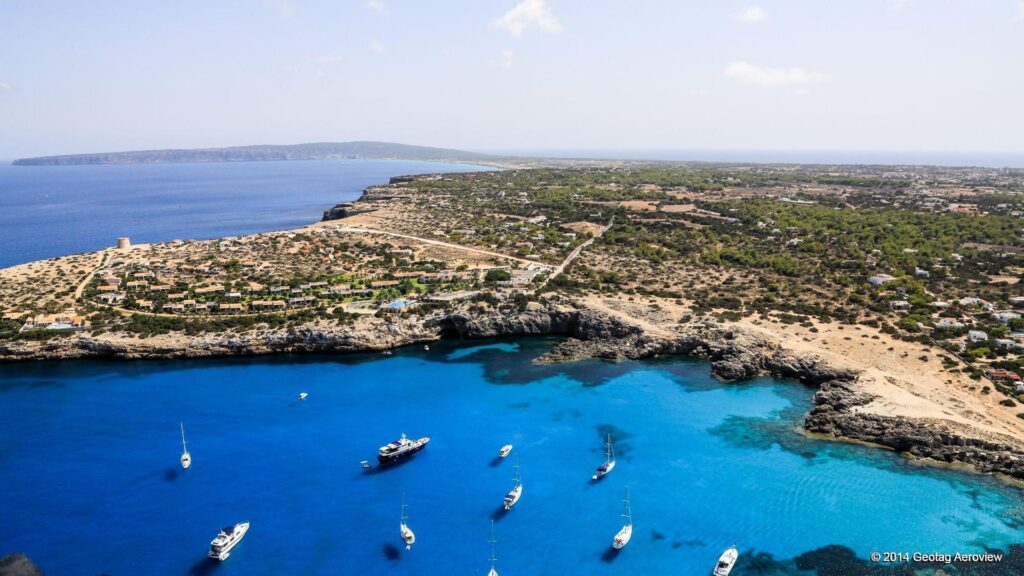
Vamos a la playa
Use the Coast View Gallery, see the Close-Up Photos, and explore the beach. Is it open or a protected cove? Sandy or Rocky? With or without amenities? Physical shade by trees or Rocks? Zoom in and find out for yourself.
Plan your next kayak trip within minutes. Take a glance at the marine landscape and decide whether it is worth exploring! Discover how isolated or crowded a beach is, and find all you need in the place details from camping options to amenities and more.
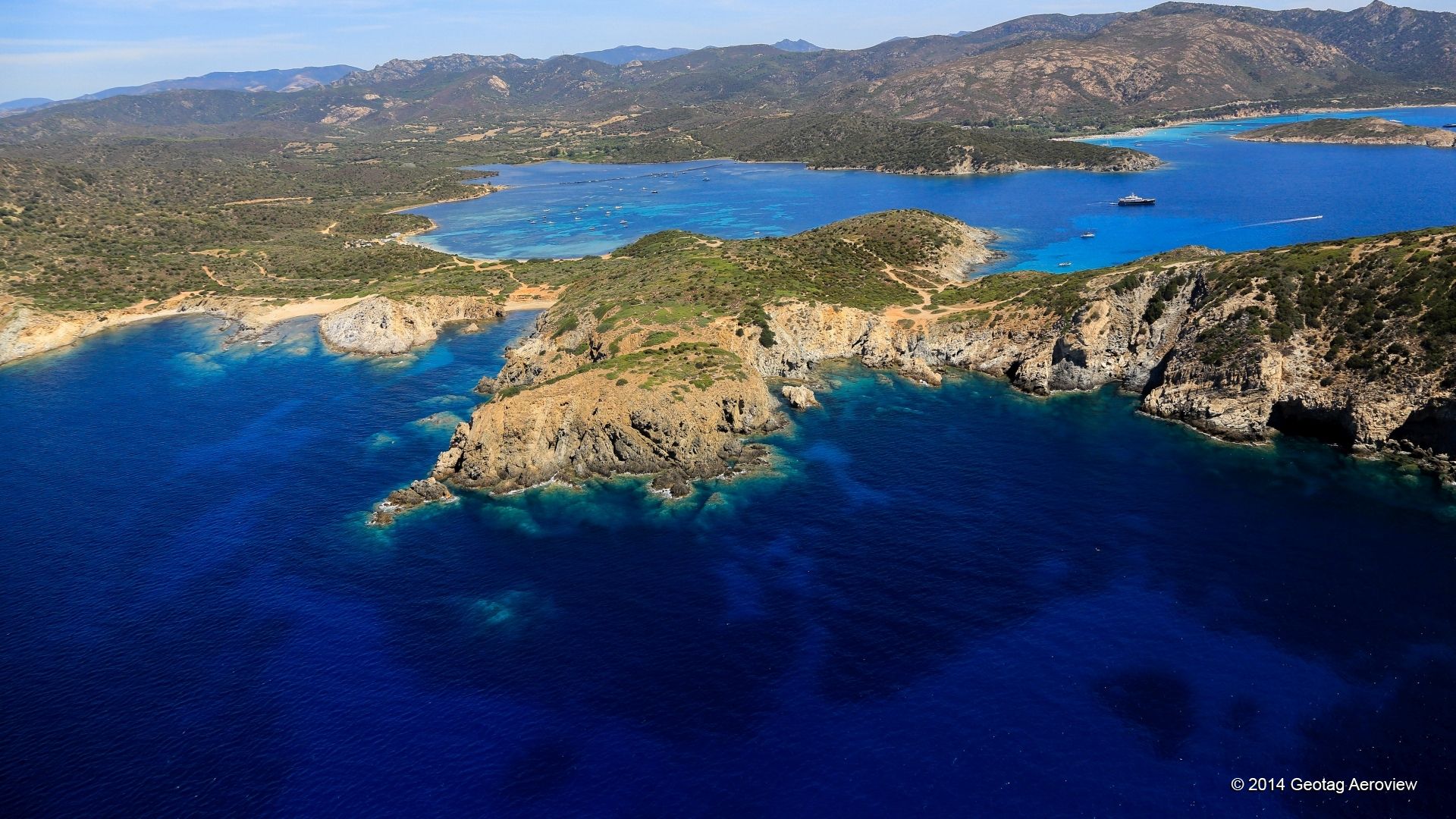
Hidden treasures are just a paddle away!
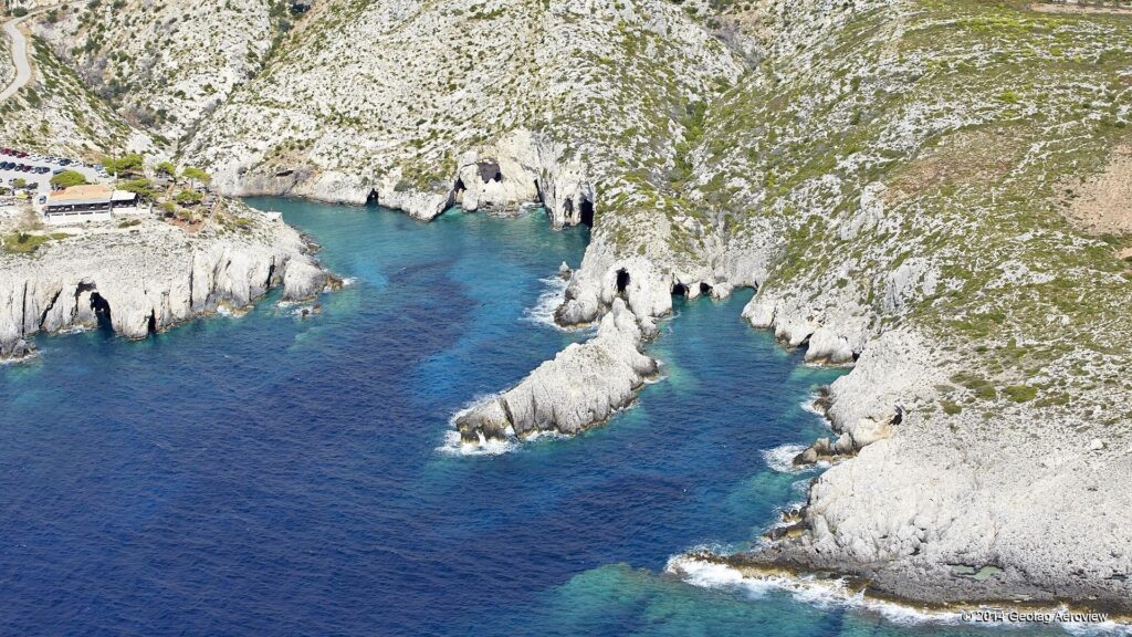
Caves look like wonders of the earth and surely are the most exciting places to explore for sea-kayakers. But, spotting caves that are not popular and crowded for those who are explorers at heart is not an easy task.
Explore hidden gems along the coastline and plan your next adventure! Assess the accessibility and safety of the cave and take the uncertainty out of planning.
Before you paddle your way there, you can calculate the exact distance and create your own route with Route Planning, as well as save it for future reference!
That’s a part of what Coast View really offers! For now, you can at least mind-travel. Start swiping left and right!
Haven’t tried it yet? Read here for instructions on how to use Coast View!